
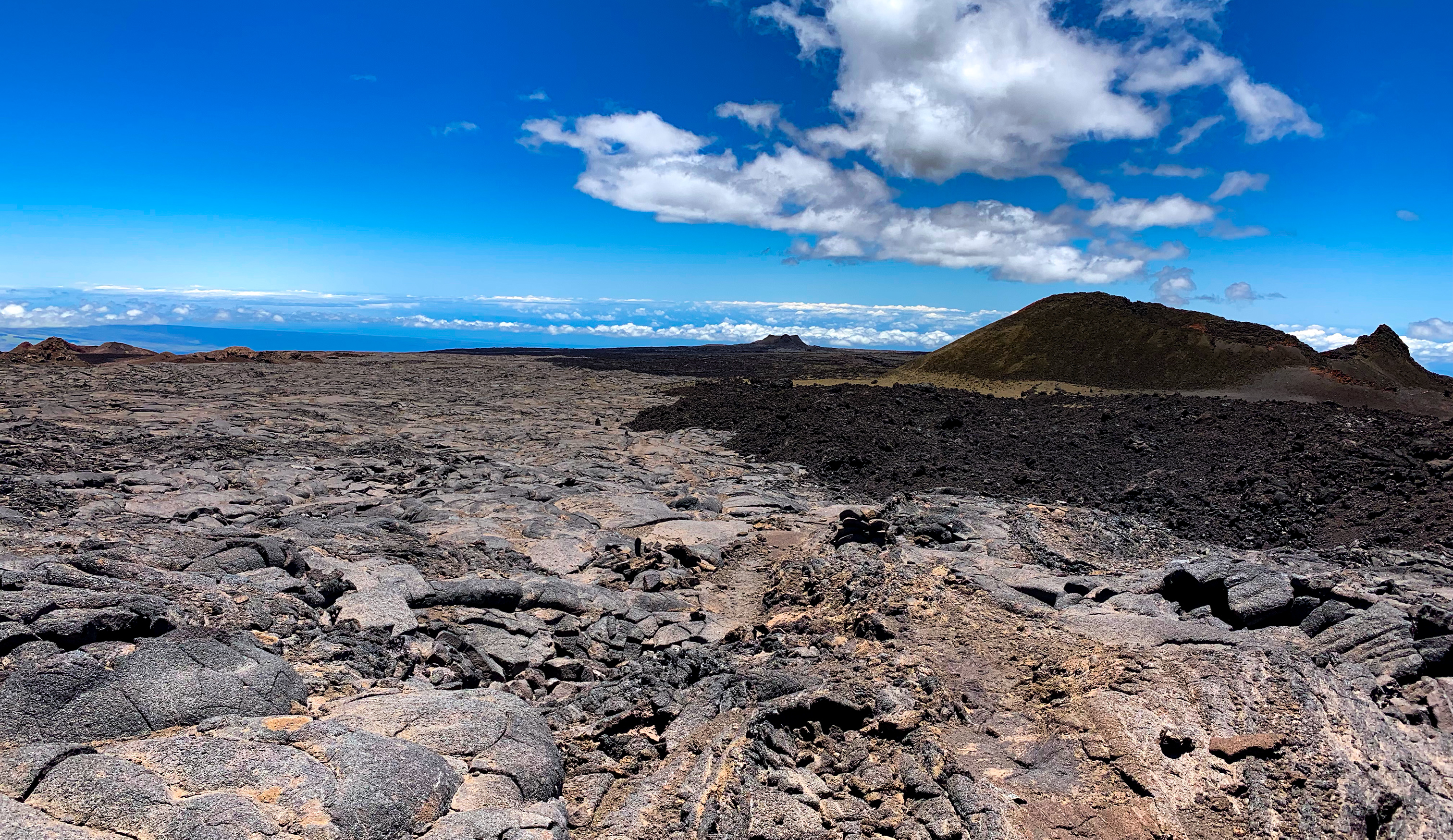
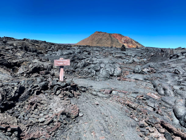
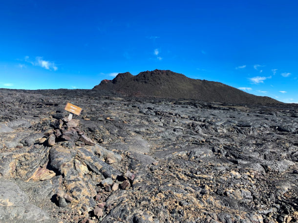
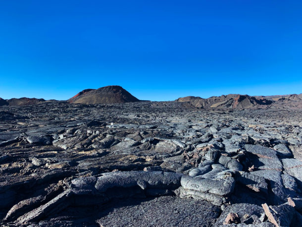
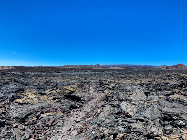
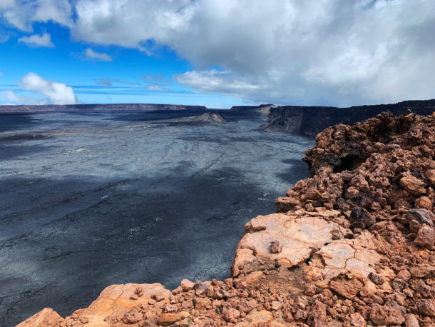
This is what you run across for most of the Mauna Loa Trail.
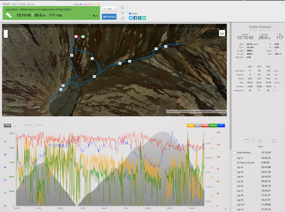
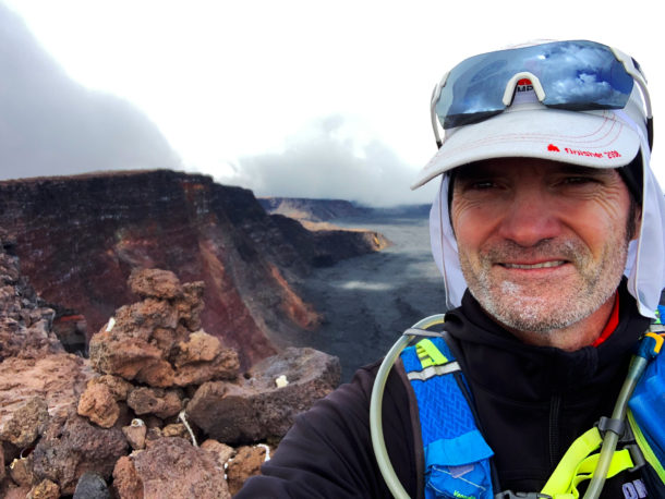
So yesterday I did a 28 mile run up on Mauna Loa. The idea was to run all miles above 11,000 feet and feel out what it would be like to run most of the actual Mauna Loa Trail. So this way I would reach the summit after over 20 miles on tired legs. I also wanted to test myself with no acclimatizing – so I drove to 11,000 feet and just went for it. Overall the whole adventure went well and took me 12 hours. This technically felt harder than any of my previous training runs since it is tricky to get the body to perform for that long above 11,000 feet. And running on Lava flows – well I thought I had that wired but combine the distance and the elevation and it is another ball game up there if you want to move fast.
Relive ‘Mauna Loa Training Run. 28 miles above 11,000 feet’
Video overview of the training run.
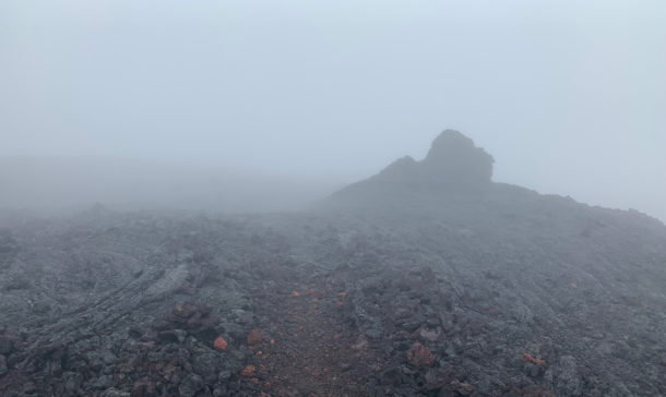
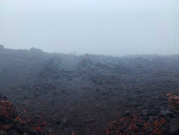
A good chunk of yesterday’s focus was to lock into my mind (and with GPS) exactly where the Mauna Loa Trail goes. As I discovered on the descent from the summit, weather can come in at any time and take visibility down to just a few feet. So not only do I intuitively need to know where to go but it’s handy to have the GPS data available on my iPhone. I’ve been using an app called Gaia that tracks my whole trip (without cellular connection) and allows me to overlay last week’s GPS data so I can see where I have been. This allows me in real-time to know my (mostly) exact position, where I have gone, and the map of my intended direction. So now I have covered all but the first 7 miles up to the Red Hill Cabin and have solid GPS data to support my Sea to Summit run in a few weeks.
Also an important task yesterday was to see if my family and friends could follow me on Garmin’s LiveTrack. In the past runs the cell reception was pretty solid and everyone knew very close to where I was at all times. But up on Mauna Loa the cell reception is really quite bad and there were long periods evidently with no update (30 minutes or more). This is fine for a simple workout but deep in the backcountry as I was it isn’t the smartest system if something went wrong.
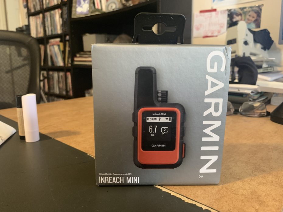
Now starting on all future runs I’ll be using the Garmin inReach Mini which is a compact satellite communicator that will not only enable my family to track my every move without cell reception but will also allow for me to preset routes and get my location in real-time as well. I’m not sure I am going to use it in place of the Gaia app but I’ll give it a go on the next run. The Gaia app is really well tuned for low energy consumption and I noticed the Garmin LiveTrack app sucks up quite a bit of juice. So not sure how the Garmin app that pairs with the InReach will fare. But that is what test runs are for. All that really matters here though is that I can keep the people most important to me solidly updated to my whereabouts. And that gives all of us peace of mind.
My other tasks for the day were to nail my nutrition, hydration and altitude supplements. I took in 1200 calories of GU gels, Skratch and Cliff Bloks which isn’t huge for 12 hours but pretty good. I had a few other items on me but wasn’t interested in eating them. I did notice that had I brought 4 or 5 more GUs I think I would have used them. I’ve trained for years on them so I guess that makes sense. The Cliff Bloks were a bit too chewy in those cold temps so I don’t think I’d eat more of those. The 90 ounces of water I brought was mixed with Skratch so that accounted for 480 calories. But I ran out of water 2.5 hours before the end of the run so had I had 16 to 32 ounces more water with Skratch I could take in 160 more calories. So ultimately I think the GU and the Skratch will get me through this part. And I’ve discovered over the years the later I am into an event the more likely I need liquid calories since that is usually all my stomach will tolerate. Speaking of tolerating – I was trying 4 different altitude enhancers and they had to mix in my stomach with everything else. I’m not going to go deep into detail here on the why and the science of what I used but I think with further testing I might have something. I took Beet Root powder for a couple of days before the run and the morning of. That final dose though upset my stomach for a few hours. I used a Muscle Nitro product (generally for getting “pumped” in the gym) as well that I took a couple of times over the last couple days and then two times on the run. Both these products I used to increase Nitric Oxide creation in my body. In essence, trying to get my body to utilize more oxygen to make up for the lack of oxygen in the air up there. I also used Ginkgo Biloba to help with the headaches. Overall I felt that I had the most energy of any time I’ve been above 11,000 in the last couple of months. And I had milder and minimal headaches which was nice. As usual, more testing is needed but the results feel promising.
A Look At The Run
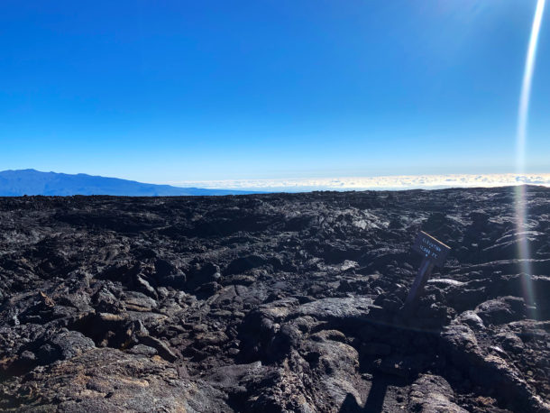
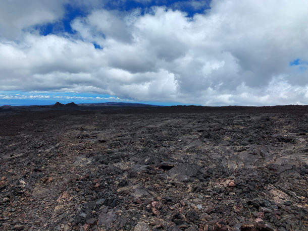
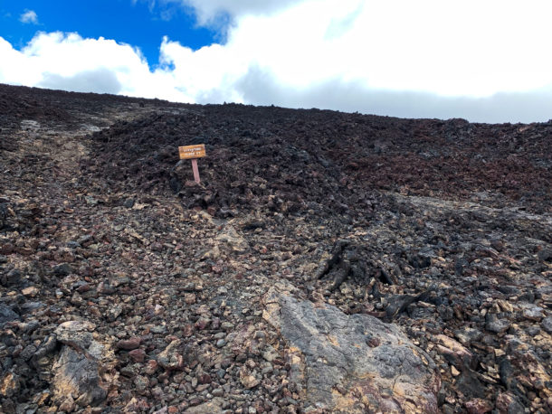
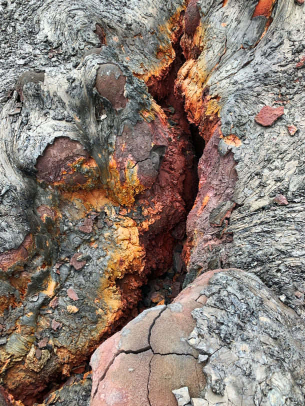
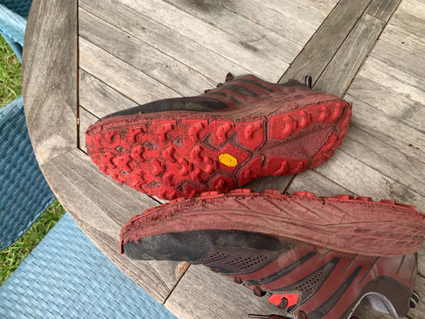
Now I would have to say that yesterday’s run was a unique experience even for the Big Island. What is hard to appreciate is this terrain is seriously rough. Basically, the whole top of Mauna Loa is lava flows with almost no cinder (unlike Mauna Kea). So you are either running over an A’a flow or a brittle Pahoehoe flow. I run across a lot of lava flows on the island but it is something to behold when everywhere you look at for hours on end is lifeless raw lava ready to tear you open on any miscalculated step. I say it this way because that lava up there is so sharp and unending that after 28.6 miles, a brand new pair of Hoka One One Speedgoat 3 offroad shoes were destroyed. I mean they had never been worn before yesterday. As you can see from the shots and video below the lava up there will tear up anything it touches.
So ultimately I think it was a great training run. I feel sufficiently sore today without feeling like I overdid it. No niggling injurious feelings in my body – knock on wood – haaa. And this is a big one: I am actually MORE excited to do this run from the sea to the summit. I’m really happy I chose this harder route to do rather than to come up from Hilo and the Saddle to the Observatory. Having 26 miles of backcountry to get to the summit and down is a fantastic challenge after covering the first 34 miles on paved road. And the training for this is so much more fun than running next to traffic along a road. Well, that’s one more training day in the books.



Leave a reply