

This was an exploratory mission on May 7, 2019, to check out the summit of Mauna Loa and to find the best descent route. In around 8 weeks I’ll attempt to run from the ocean next to the Chain of Craters Road to the summit of Mauna Loa. It’s around 54 miles to the summit but then I intend to come down this side that I explored yesterday to complete the run. I had never been to Mauna Loa’s summit before so it was nice to go say hi by myself. There are multiple ways down from the summit to the Observatory but I think I have found the shortest friendly route at 6.2 miles. But there is a lot of loose footing so with tired legs it will not be an easy descent. Below I outline what I feel is the best route to and from the summit. Play around with the map and you’ll see a few extra routes I threw in there as well.
Since my normal running partner and great friend Toby Olney got injured on our Run to the Summit of Mauna Kea, I’ve needed to turn my attention to how to do this Mauna Loa run and its’ training by myself. One odd thing that has cropped up is how to capture, by myself, the adventures on video and stills. I’ve encountered a few questions like: what equipment to use, how often I want to break out the cameras, and how much stuff is too much when you are trying to travel light and fast? I don’t really have it all worked out but at the moment my tools are a GoPro Hero7 on a Shorty handle/tripod and an iPhone XR (64GB) with a Sandmarc Wide Angle Lens. It has been 20 years since I’ve been in the “capture this moment” mood and quite a bit has changed since then. Overall I’m happy with the results but I can see my next purchases being polarizing filters for both cameras. The skies are super bright and the blacks are super intense and I want to show that off.
I’ve also been playing with a couple of gimbals but their weight and size are prohibitive on a long run. The iPhone XR and Hero7 both have forms of image stabilization and if I am careful enough while shooting, most shake issues can be fixed in post. I’m going to share some unedited 4K of both cameras and you’ll be able to see yourself. I know I could shoot stills with something better than an iPhone but I need the phone on me for GPS, Garmin Tracking, and emergency communication so it makes sense to use the tool you have. I keep both in front pockets on my running pack for easy access. I also keep a spare Hero7 battery and a USB power pack that can charge my watch, phone or GoPro. All I need to do is start staging some shots. But man… that is a lot of work to do for a shot. My hats off to Kawika Singson who has been doing an amazing job of this for years as a one-man adventure crew.
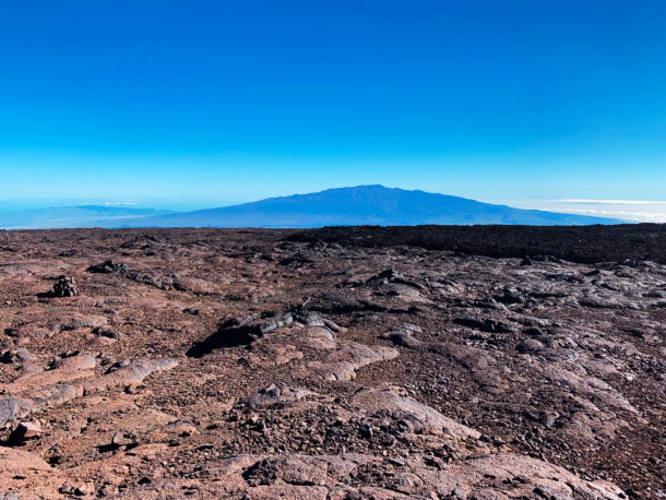
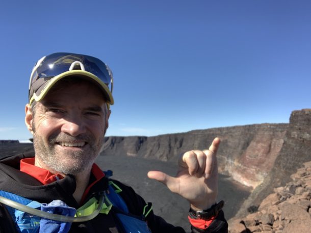
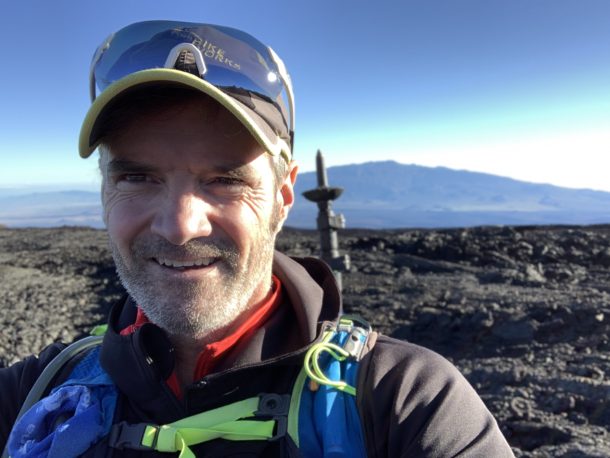
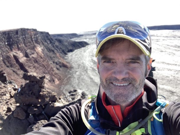
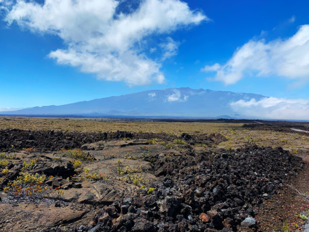
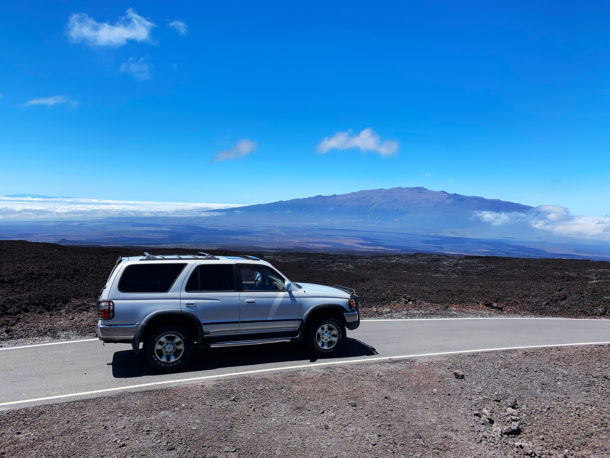
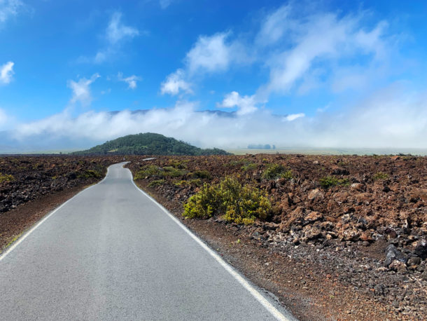
Anyways… here are some shots along the way.
Short Video Summary
I started using a service called relive.cc that takes my Garmin workout file that is transferred to Strava and combines it with images and videos I take on my phone during the time of the workout (and using GPS, knows where the shots were taken during the workout). It then lets me know I can create a quick video and makes the process pretty smooth to make a quick video from the app in my phone. I’m using the paid service since I get a higher quality video and can edit it multiple times to get it right. Thanks, Jessie Houlding for turning me on to the service.
6.2 MILES UP
Finding The Path to the Summit
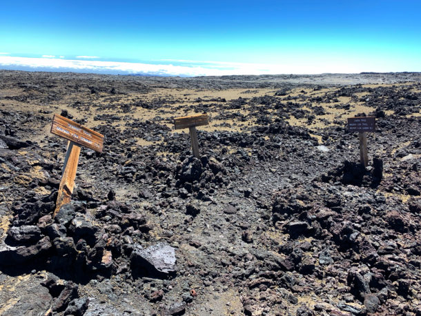
So there are really quite a few more choices in paths than you might imagine. There are switchback roads, trails marked “Trail”, cairns going off in every direction from people who felt they found a new way up – haaa. There is definitely a directismo way to the top but you are just jumping from rock to rock most of the way so you’re not saving much time. And when you run into an a’a flow it is not a friendly crossing on the ankles.
THE SUMMIT
Mauna Loa
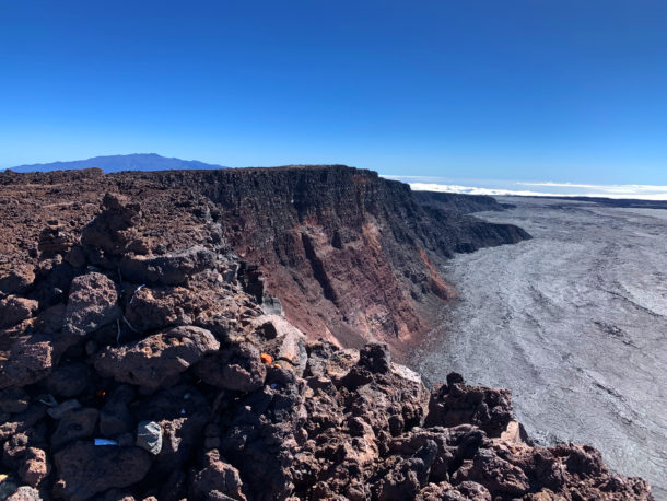
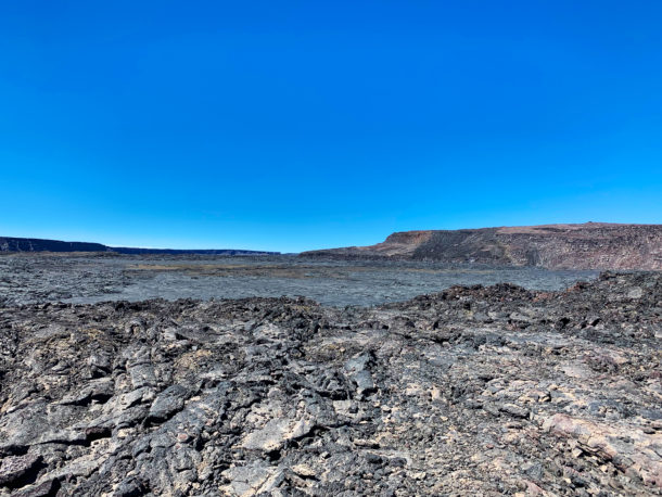
WOW – the summit was awsome! The day was perfect and I think I could have stayed there all day and just took video and stills revealing the area as the sun went across the sky.
The video below was taken with the Hero7. You’ll notice compared to video on right with iPhone there is something a bit richer and definitely more stable about the Hero7 footage.





Leave a reply